Understanding Global Air Traffic Patterns with AirNav Radar Density Maps

Density Maps provided by AirNav Radar
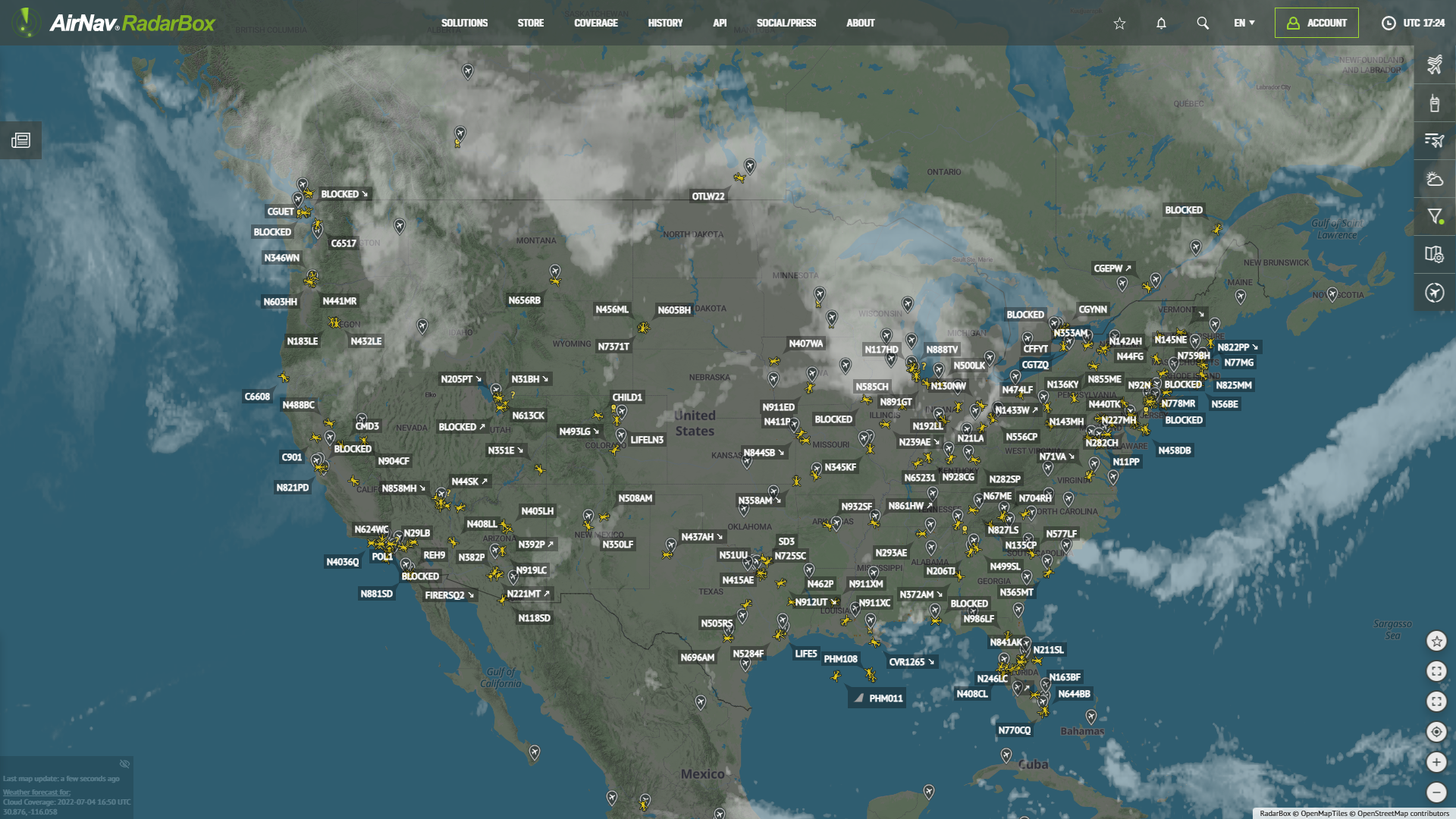
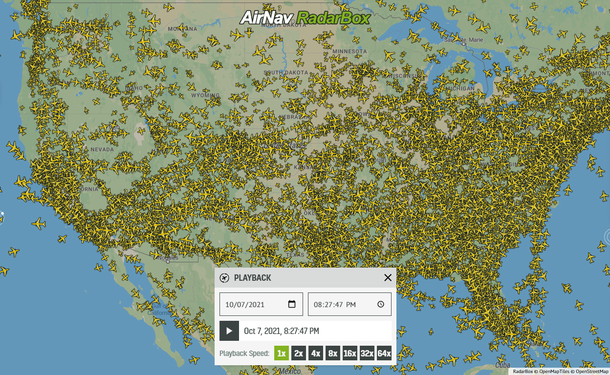
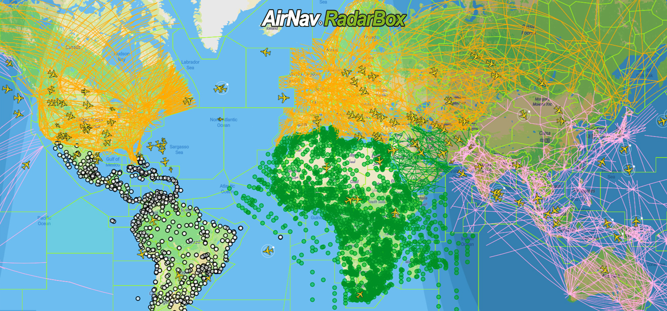
In an age where data visualization transforms raw information into insightful narratives, AirNav Radar’s Density Maps stand out as a powerful tool for understanding global air traffic. Imagine accessing a dynamic visual representation of aircraft positions seamlessly overlaid onto an intuitive map interface for 7 days. This sophisticated visualization provides not just a bird's-eye view but a granular exploration of flight paths, hotspots, and traffic patterns across the globe.
The Power of Density Maps
Density Maps utilize a combination of GPS, Inertial Reference Systems (IRS), and other data sources to plot the latitude and longitude of aircraft. This amalgamation of data sources ensures high accuracy and detail—the density map aggregates this data for over seven days, offering a comprehensive snapshot of aircraft activity. As you zoom in, the fidelity of the map magnifies, revealing intricate details that were previously unseen.
War and Conflict Zones: Gaps in the Sky
One of the most striking features visible on AirNav Radar Density Maps is the stark absence of aircraft over specific regions. For example, a significant gap in Ukraine is evident due to the ongoing war. The conflict has led to restricted airspace, with commercial and civilian flights rerouted to avoid the area, creating a noticeable void on the map.

Density Maps provided by AirNav Radar
Similarly, due to the ongoing civil war, Sudan’s airspace significantly reduces aircraft activity. These gaps are not just empty spaces but poignant indicators of the disruptions caused by conflict. They serve as real-time visualizations of the geopolitical landscape, providing a stark reminder of the impact of war on global aviation.

Density Maps provided by AirNav Radar
Urban Hotspots: The Pulse of Major Cities
Conversely, density maps also highlight areas with intense aircraft activity, often over major urban centers and landmarks. For instance, the map reveals a flurry of movements near Palm Jumeirah in Dubai. This iconic artificial archipelago attracts high air traffic, from commercial flights to private jets and helicopters, catering to the affluent lifestyle and tourism it supports.

Density Maps provided by AirNav Radar

Density Maps provided by AirNav Radar
In Paris, emblematic places such as the Eiffel Tower and the Champs-Élysées are surrounded by dense aircraft movements. Helicopters and small aircraft frequently traverse these routes, providing aerial tours and transportation services. The density maps provide a visual testament to the vibrancy and busyness of these urban centers, reflecting their importance as global hubs.
How to Access Density Maps
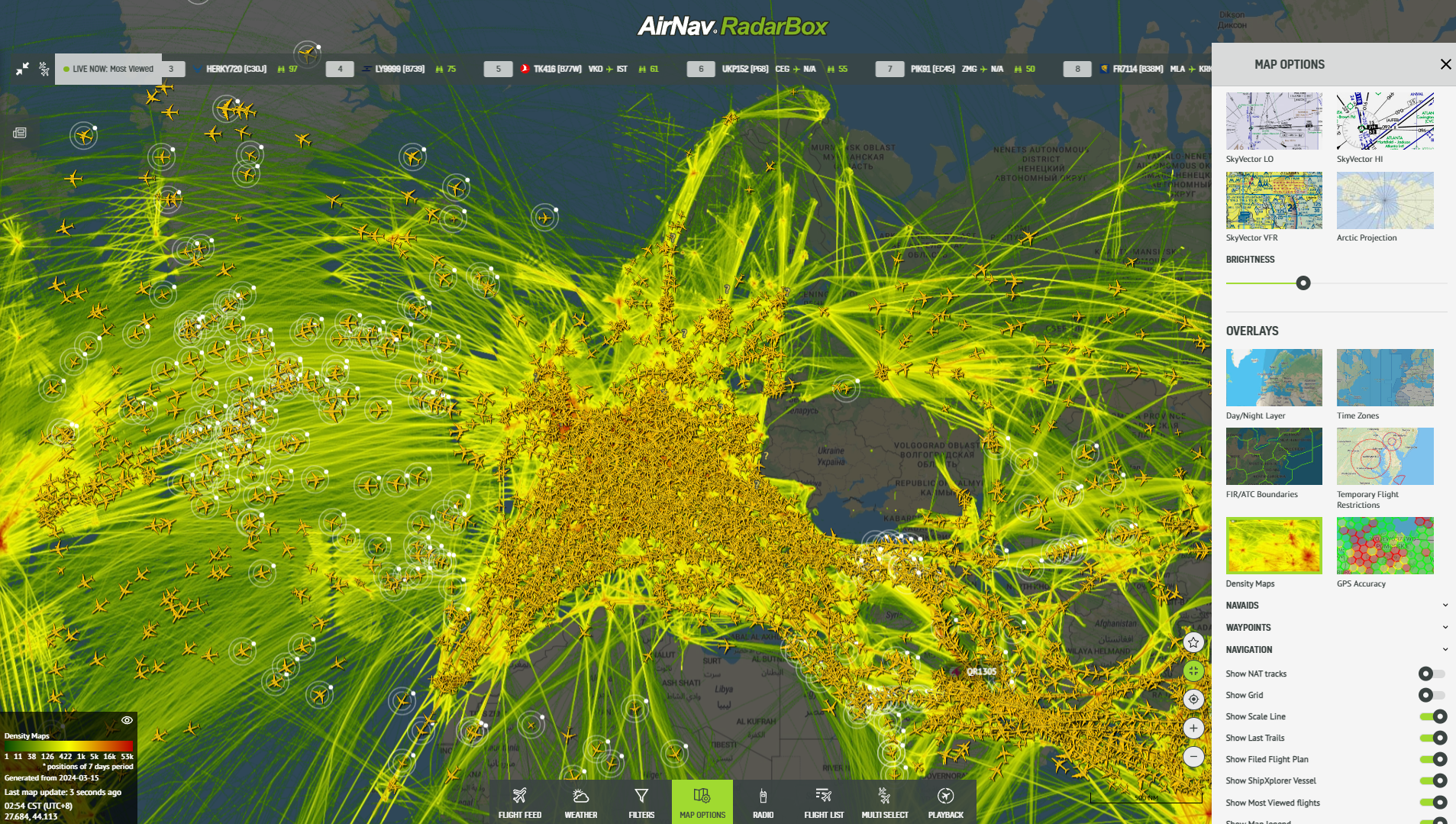
Navigate to the "Map Options" menu and select "Overlays." Then, Click "Density Maps" to unlock this immersive feature. With just a few clicks, you'll journey through the dynamic landscape of global air traffic.
Density Maps provided by AirNav Radar